Satlas
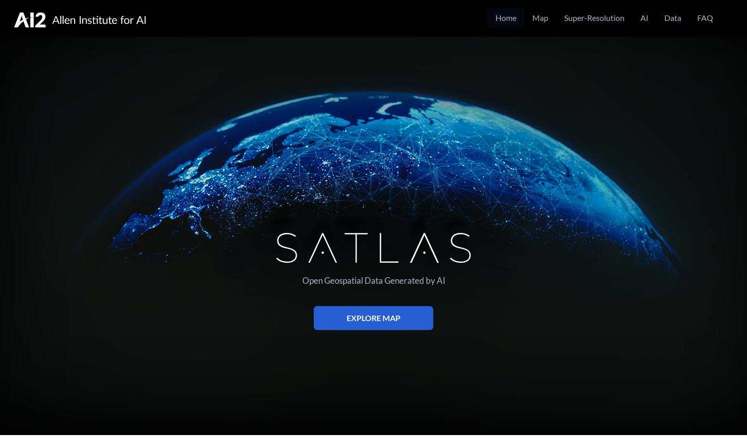
About Satlas
Satlas is an innovative platform that allows users to explore how our planet is changing through AI-annotated satellite imagery. With its advanced features, such as super-resolution imaging and a vast repository of geospatial datasets, Satlas enables researchers and environmental enthusiasts to visualize critical changes in landscapes and ecosystems.
Satlas offers free access to geospatial data and advanced analytics tools, allowing users to explore evolving environmental scenarios. Although primarily free, potential premium features could enhance user experiences. For users seeking to perform in-depth analyses, upgrading may provide exclusive datasets and advanced functionalities, enhancing research capabilities.
The intuitive design of Satlas ensures a seamless user experience, featuring easy navigation across its rich resources and functionalities. Users enjoy quick access to both satellite imagery and AI models, making it effortless to browse, analyze, and download vital data. Satlas’s unique layout optimizes both functionality and accessibility.
How Satlas works
Users interact with Satlas by accessing the web platform, where they can explore satellite imagery through simple navigation. Upon onboarding, users can quickly familiarize themselves with the available datasets and features such as super-resolution imaging. They can analyze changes in infrastructure and ecosystems, download datasets, and leverage powerful AI models to enhance their research, all powered by a vast database of satellite imagery.
Key Features for Satlas
Super-Resolution Imagery
Satlas’s super-resolution imagery feature allows users to transform low-resolution satellite images into high-resolution visuals, enhancing detail and clarity. This unique capability empowers researchers and environmentalists to conduct thorough analyses of terrestrial changes, providing a significant advantage in understanding and documenting our planet's evolving landscape.
AI-Generated Geospatial Datasets
Satlas provides access to AI-generated geospatial datasets that are freely available for public download. These datasets empower users to perform comprehensive offline analyses, making it easier for researchers, policymakers, and environmental advocates to access vital information. Satlas's commitment to transparency and open data is unparalleled.
Collaborative Research Tools
Satlas features collaborative research tools that enable users to share insights and findings with peers. This functionality encourages teamwork and collective analysis, making Satlas an essential resource for research teams, NGOs, and educational institutions that aim to address environmental challenges using satellite data and AI technologies.